Want to have a giant QR code on your roof?
Want to have it seen in Google Maps and Google Earth?
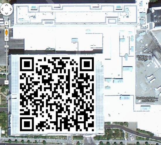
Public Relations and Marketing firm Phillips and Company recently did a press release announcing a service called Blue Marble, where they put a QR code on your roof, then make sure it gets into Google Earth and Google Maps.
Well if you can do it from earth orbit, why not 1000 feet?
We'll see what they have to say!
(Thanks go to Android Central for the image and first place I saw the story...)
Things airship related and the back story on operating the Airship Ventures Zeppelin “Eureka” in the USA.
Showing posts with label Google Earth. Show all posts
Saturday, October 8, 2011
Thursday, January 28, 2010
San Diego Transit Map
I'm keeping track of the ship's progress from the office via our Tracking page, but we also regularly compile that data into a mapping file. So, for all the Google Earth enthusiasts out there, here's our transit from Moffett Field, CA, Long Beach, CA, to San Diego, CA as a KML file (right-click and "Save File As" to download)!
(And Download Google Earth here for free, if you don't already have the program.)
Labels:
airships,
blimp,
California,
coast,
Farmers Insurance,
Golf,
Google Earth,
highway 1,
mapping,
San Diego,
sighting,
transit,
Zeppelin NT
Subscribe to:
Posts (Atom)
