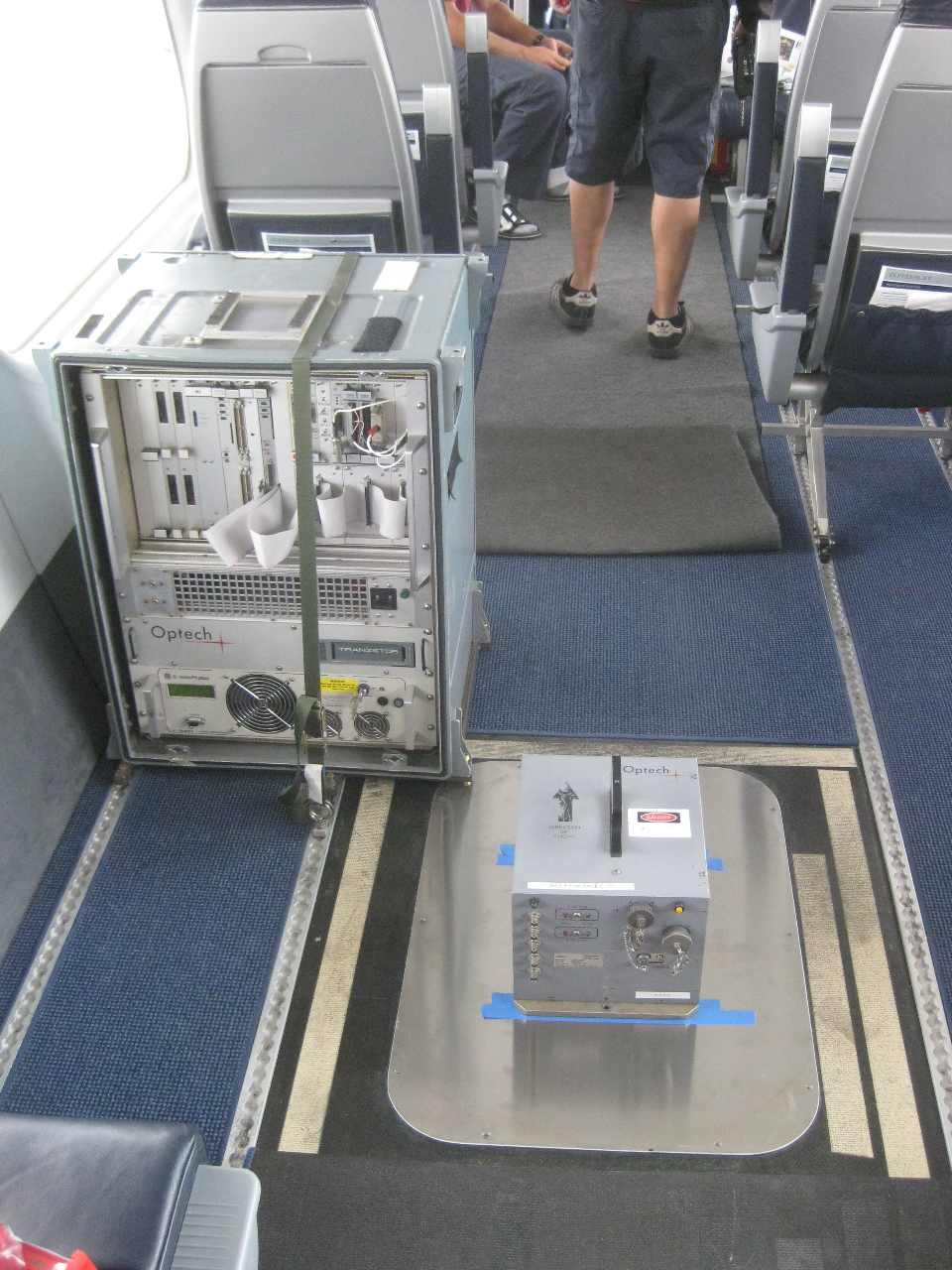
We have been working with Airbone 1 and have done a test fit of their equipment (manufactured by Optech.)
Some of the cool applications include:
- Flood plain mapping
- Terrain modeling
- Power Line/Catenary models
- 3D City Maps
- Vegetation/Biomass estimation
If you are interested in learning more about the unique opportunity presented in the marriage of the stability and extended mission time presented by airships, with the 3-D image mapping available via LIDAR, please contact our special missions group.